
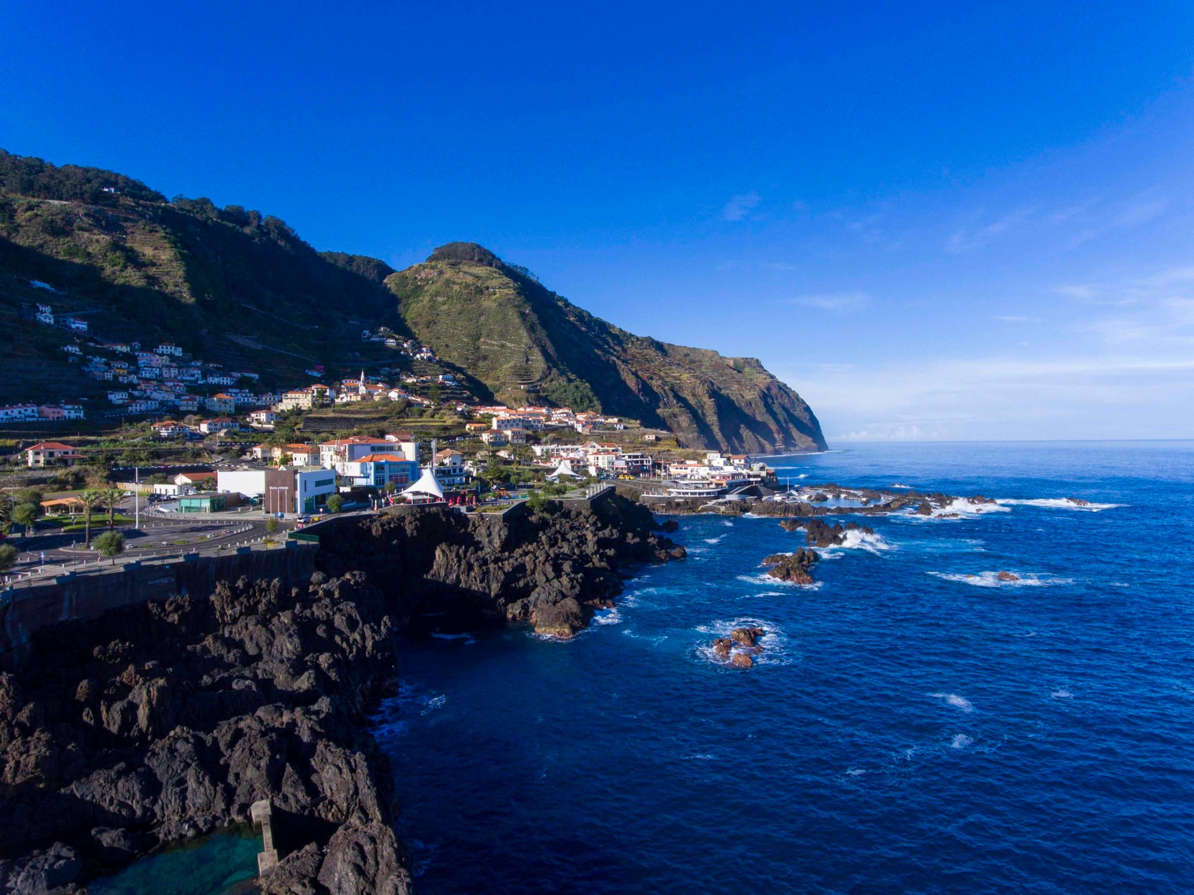
From the mountain to the sea
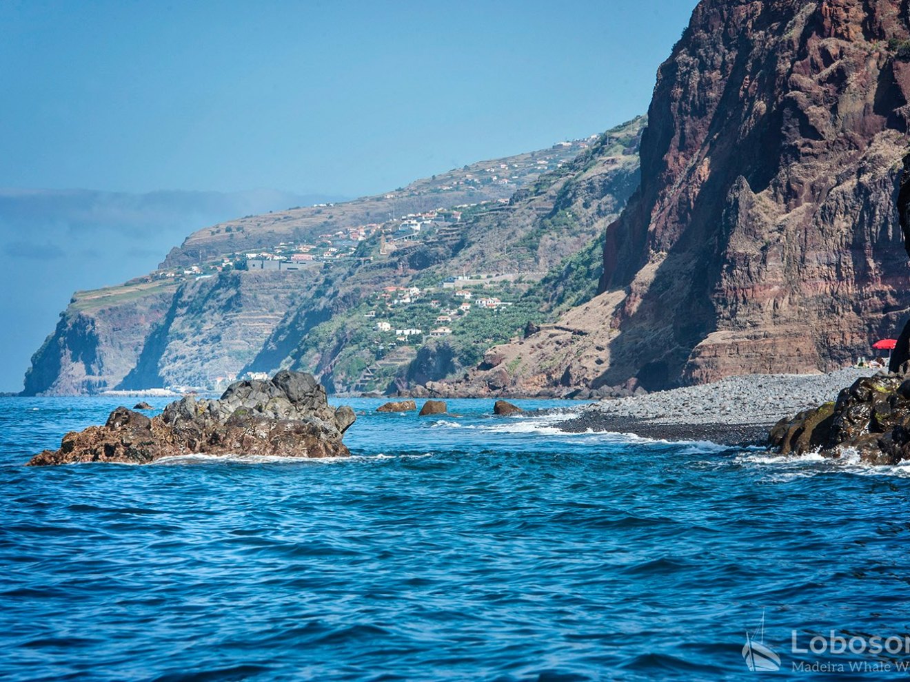
Also known as “the flower island”, Madeira Island lies between the Azores and the Canaries, and has an area of approx. 30 x 60 km (18.6 x 37.3 miles). It is the main island of an archipelago that also includes the uninhabited Desertas and Savage Islands, both natural protected areas for monk seals, different bird species and a variety of marine life. The archipelago also includes the inhabited island of Porto Santo, Madeira’s smaller but geologically older neighbor famous for its endless sandy beach stretching over 9 km (5.6 miles).
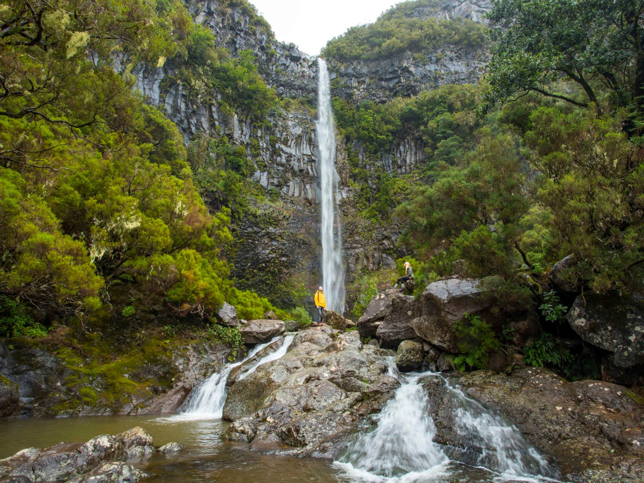
Madeira was created millions of years ago as a result of a geological hotspot and was officially discovered in the year 1419 AD. The tallest mountain of Madeira is the Pico Ruivo at 1,861 m (1156.371 miles). Hiking fans can enjoy adventures at the archipelagos peaks as well as walks along the water canals, locally known as levadas. So what is keeping you at home?

MACARONESIA
Along with the Azores, the Canary Islands and Cape Verde, the archipelago of Madeira also belongs to the Macaronesian “Fortune Isles“. All of these islands are of volcanic origin. So what is the geological story of Madeira and how did it become one of the Fortune Isles?


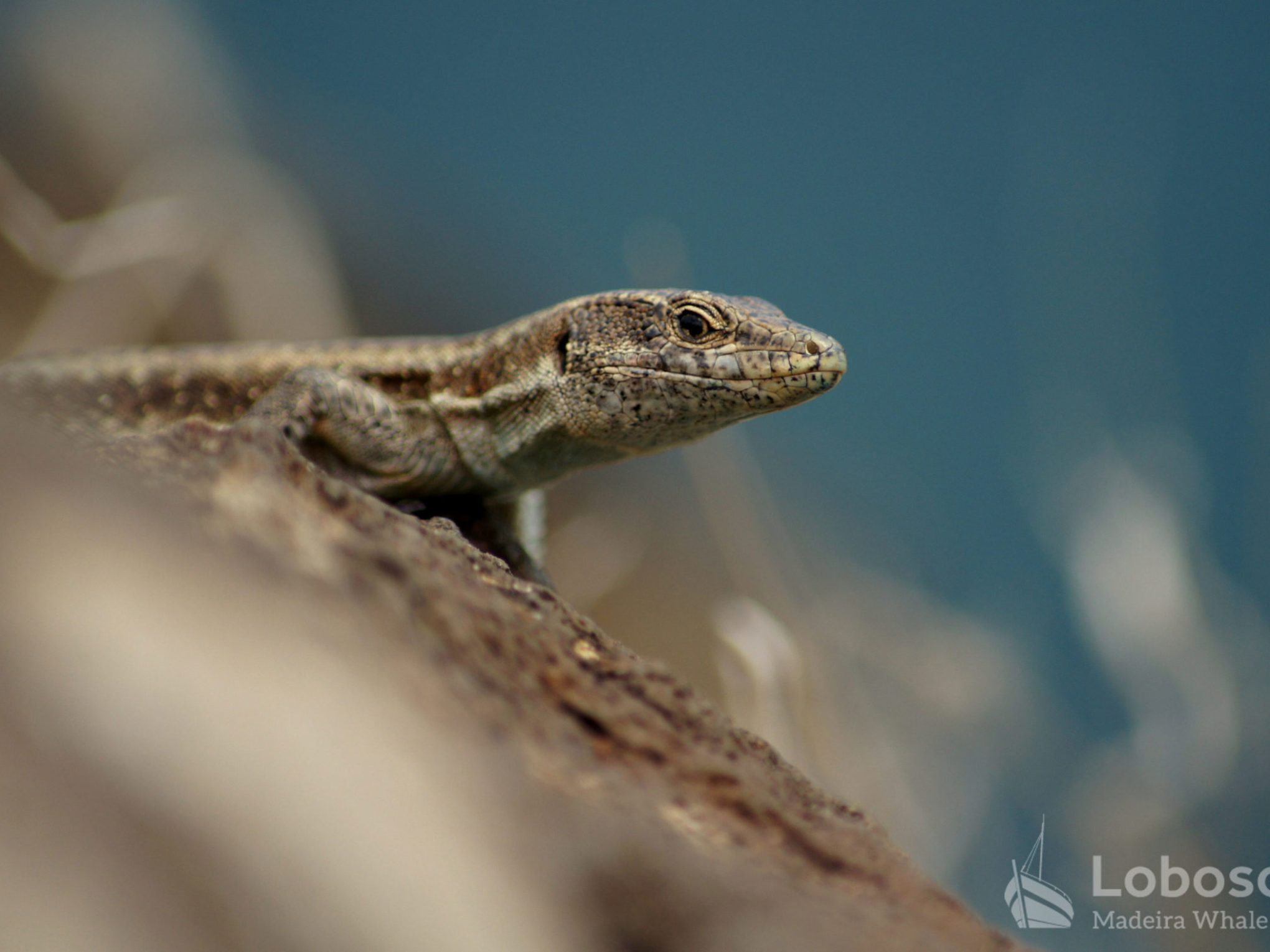
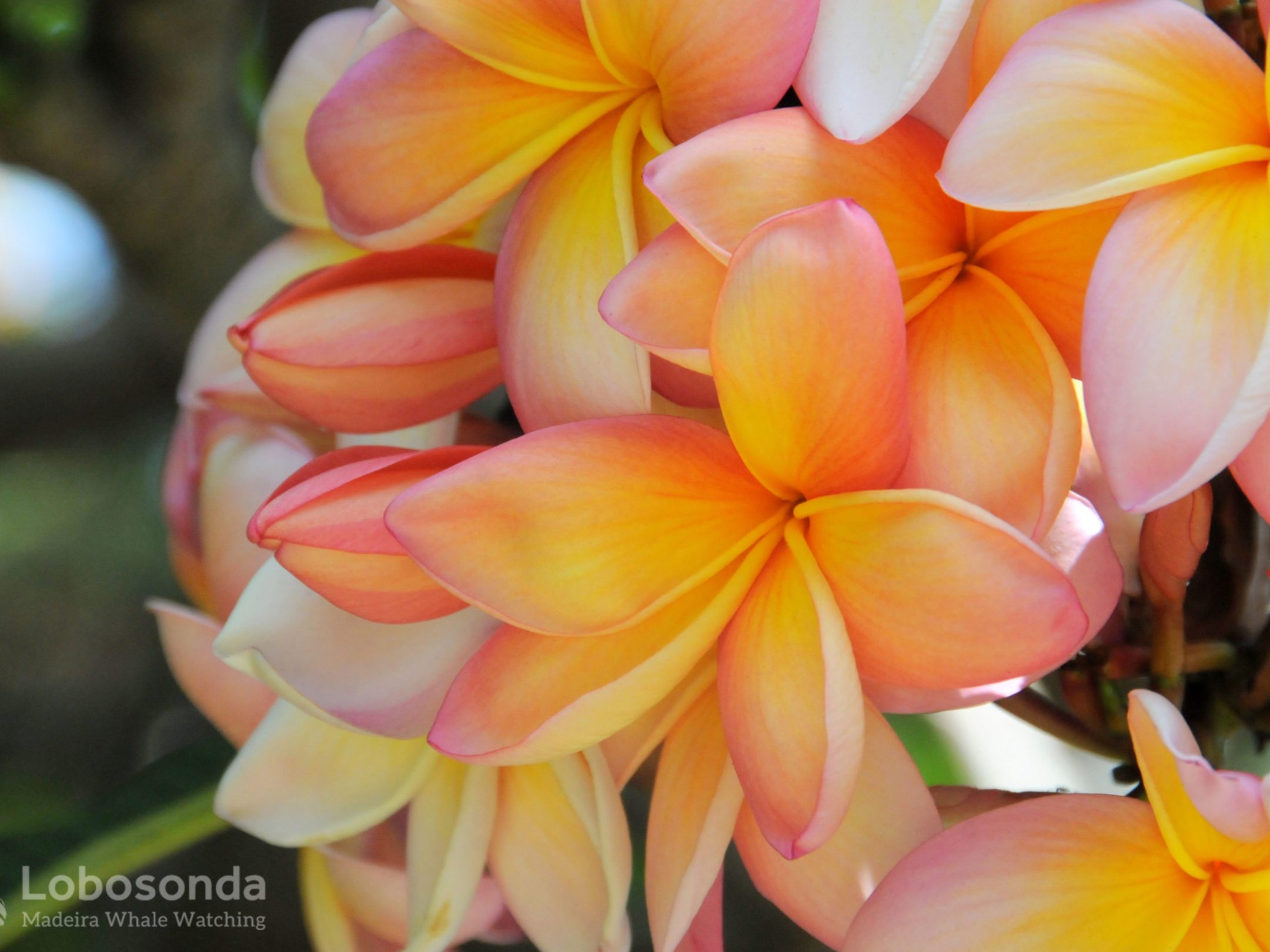

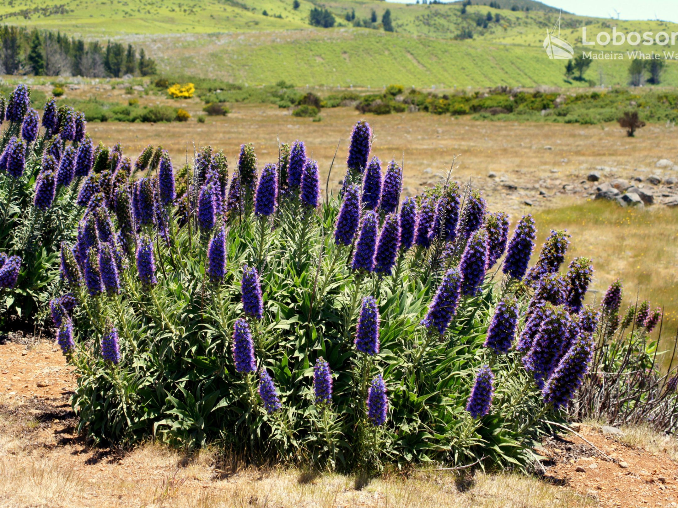
FAUNA & FLORA
Since its discovery, Madeira was always famous as the floating garden in the Atlantic but its lush marine life also began attracting attention at the beginning of the 21st century. Which plants and animals can be found in the waters of Madeira and why is such a high degree of biodiversity, particularly underwater?
LOCAL TIPS
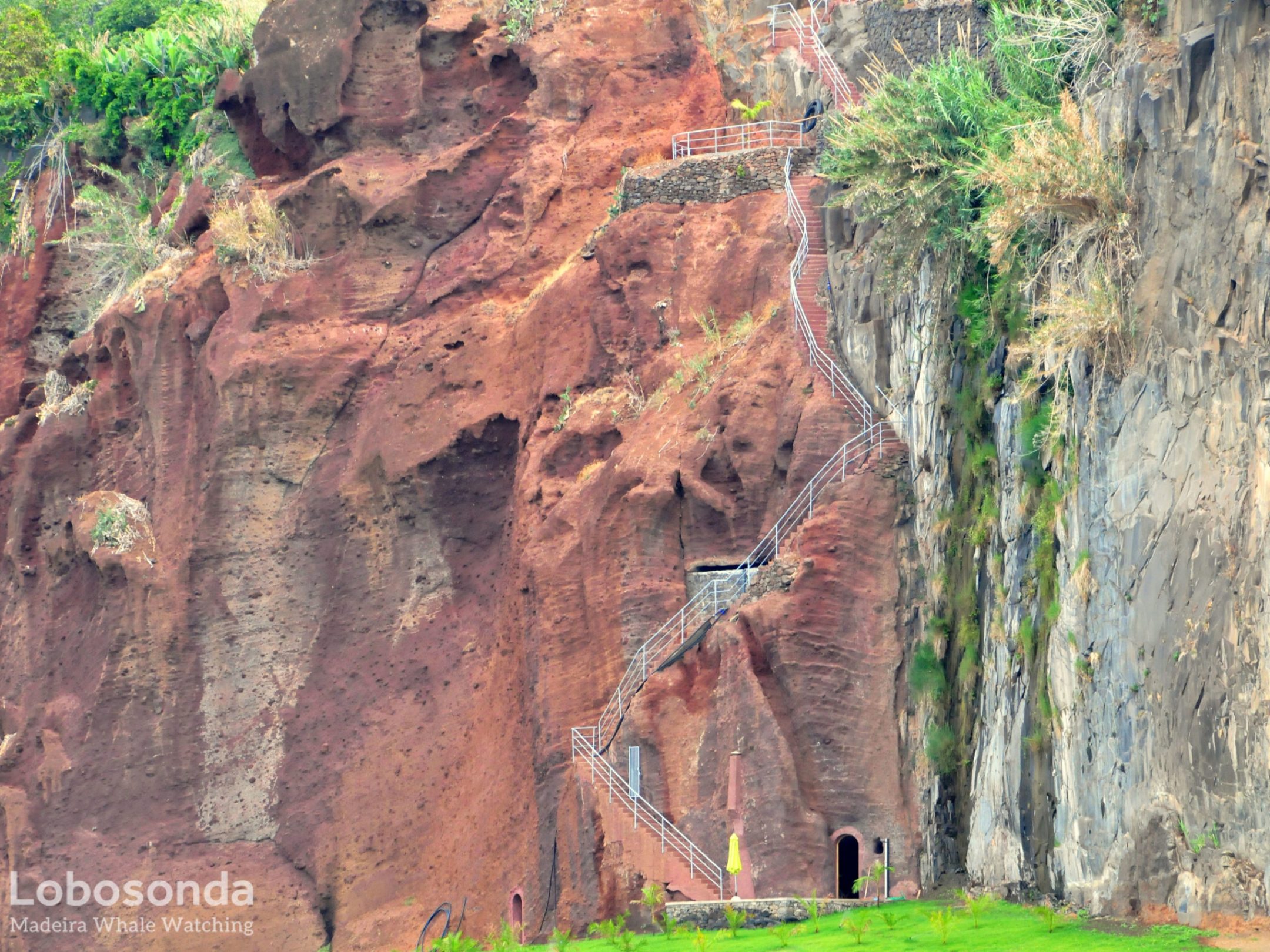
Calheta is a village in the southwest of Madeira. Besides the central village of Calheta itself, the municipality also contains Arco da Calheta, Estreito da Calheta, Jardim do Mar, Paúl do Mar, Prazeres, Fajã da Ovelha and Ponta do Pargo. There are a wide variety of attractions in this district that are sure to satisfy interests in nature, sport or culture.
